
Altitude Inspection Services, LLC
About Altitude Inspection Services
Discover how Altitude Inspection Services leverages cutting-edge infrared drone technology to deliver precise aerial thermal imaging, comprehensive building inspections and accurate mapping.
At Altitude Inspection Services, we specialize in Photogrammetry mapping as well as advanced aerial infrared mapping for industrial and structural assessments. Our mission is to provide accurate thermal data and Photogrammetry/Mapping Services. The direction of this mission is to provide analysis and solutions with an aim towards enhanced safety and operation efficiency. Reach out through our contact form to learn more about our tailored inspection solutions.
Our flagship drone,The DJI Matrice M30T is a powerhouse for commercial drone operations; it’s practically built for the kind of work you do at Altitude Inspection Services. Its rugged design, thermal imaging, and RTK mapping capabilities make it ideal for high-stakes, data-driven environments. With its IP55 weather resistance, 41-minute flight time, and multi-sensor payload (zoom, wide, thermal, laser rangefinder), the M30T is built for field-ready versatility. It’s not just a drone — it’s made AIS a mobile data acquisition platform for your operations success.
Expert Drone Survey Provider

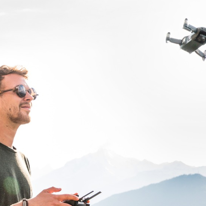
Carter Kemp
Founder & Owner of Altitude Inspection Services, LLC.
As a licensed and 20 year experianced Journeyman Industrial Electrician and an FAA licensed UAS Pilot. I provide services for aerial mapping projects, Site Progress Reports by combining construction and infrastructure expertise witrh drone technology. This includes infrared analysis for optimal results, ensuring that every inspection report is clear, actionable, and delivered promptly.
